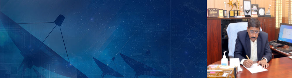
Director's Message
Dr. R.P. Singh
Director IIRS
Indian Institute of Remote Sensing
Dehradun
Welcome to the Indian Institute of Remote Sensing (IIRS) outreach E-Learning Education Programme. Indian Institute of Remote Sensing (IIRS) under Indian Space Research Organisation, Department of Space, Government of India is a premier Training, Educational and Research Institute established for developing trained professionals in the field of Remote Sensing, Geoinformatics and GNSS technology for Natural Resources, Environmental and Disaster Management. The Institute is running many on-campus short and long term capacity building programmes ranging from three days to two years. The remote sensing and geo-information science have become key technology tools for the collection, storage and analysis of spatially referenced data for resource planning and decision making. Planners and decision makers utilise geospatial technologies for a variety of applications. These are seen in areas such as agriculture, forestry, mining, market research, environmental analysis as well as the social, utility services and disaster management.
Indian Institute of Remote Sensing (IIRS) has initiated its interactive distance education based capacity building training under IIRS outreach programme in the year 2007. Through this programme, over 29,000 students, researchers and professionals from 350+ universities/institutes/departments and Organisations across the country have been trained in the field of geospatial technologies and its applications. This was accomplished through ISRO's communication satellites, satellite interactive terminals and A-View software using Internet.
To further enhance the outreach of geospatial science and technology, IIRS is now introducing e-learning based certificate courses on 'Remote Sensing and Geo-information Science' for different durations. The e-learning courses are self-paced and learner centric courses. The syllabus of the courses are as per latest developments and trends in geo-spatial science and technologies with specific focus on Indian case studies for geo-spatial applications. The learning is made available through interactive 2D and 3D animations, audio, video for practical demonstrations, software operations with free data applications. The learning methods are implemented to make it more interactive and learner centric application with practical examples of real world problems.
The e-learning courses are free and open to all as learner of this technology. The learning methodologies are made simple by including active learning concept for Remote Sensing and Geospatial technologies. I hope the e-learning programme will be beneficial for everyone to enhance their skills for their professional career.
Wish you all the best and have a great learning.